


25
Years
of experience


-
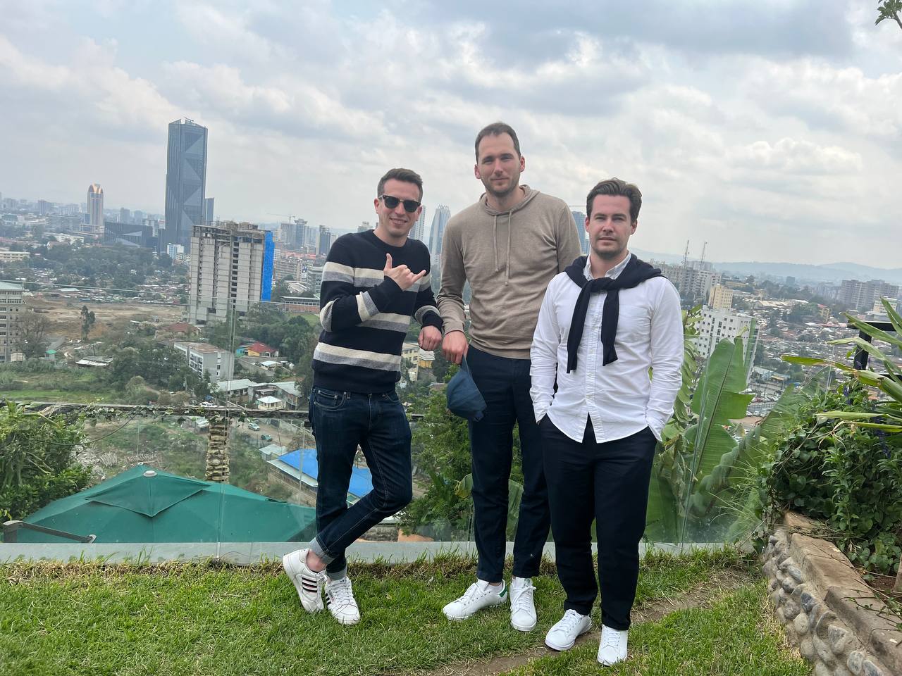
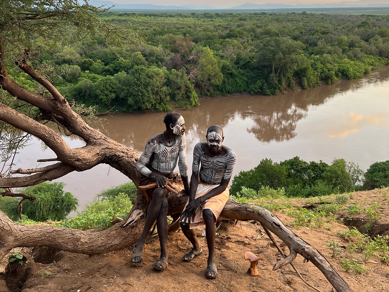
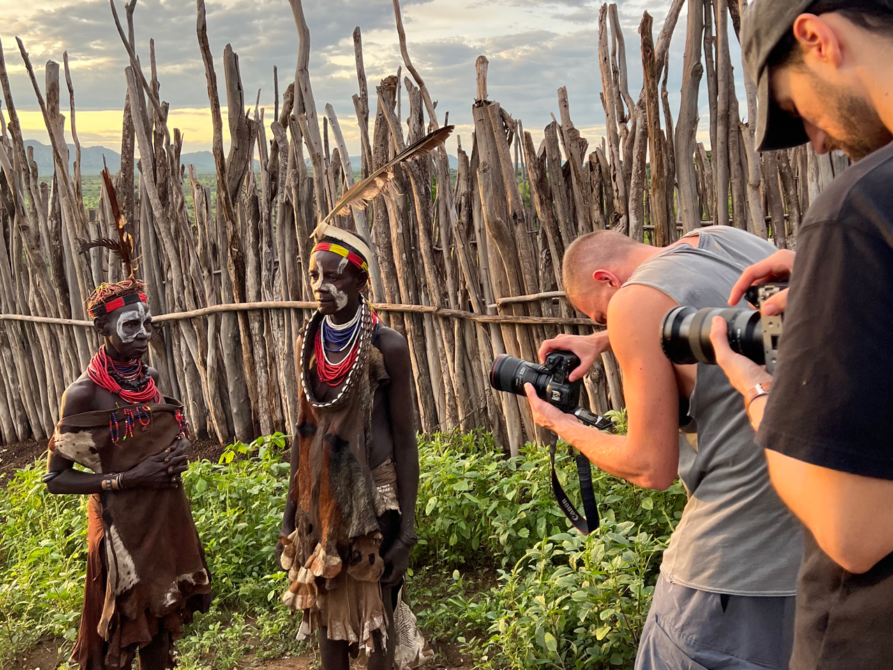
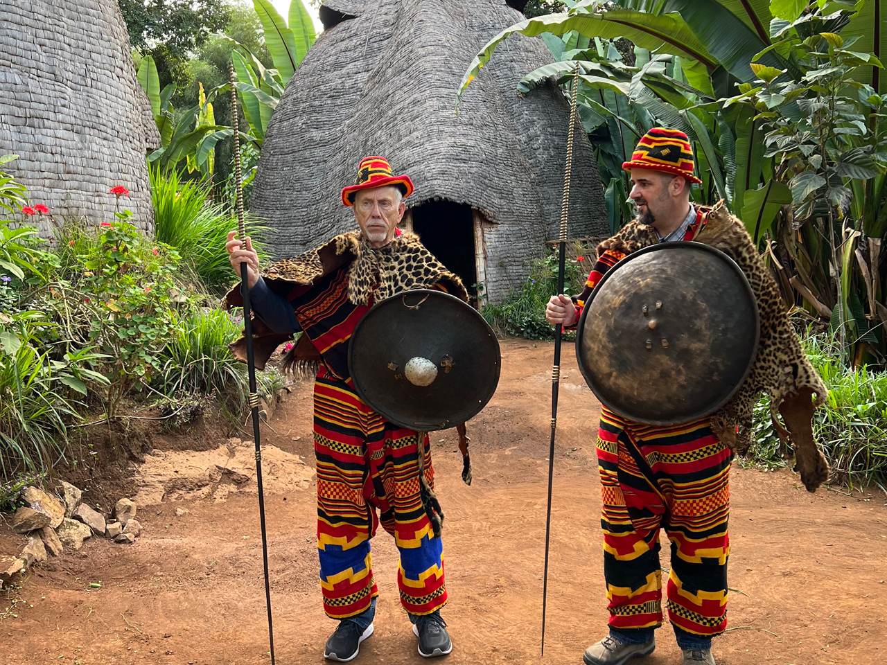
 Fantastic - My husband and I went to Ethiopia for a brief business trip. Once we are there we decided to look in on the southern part of Ethiopia, which is the... read more
 nejata2023
January 18, 2023It was really great with simen land tours with Tess. Friendly, kind, good ideas what to see- having fun. Wonderful experience doing the tour in Addis Ababa.
Thank you- best... read more  124klausr
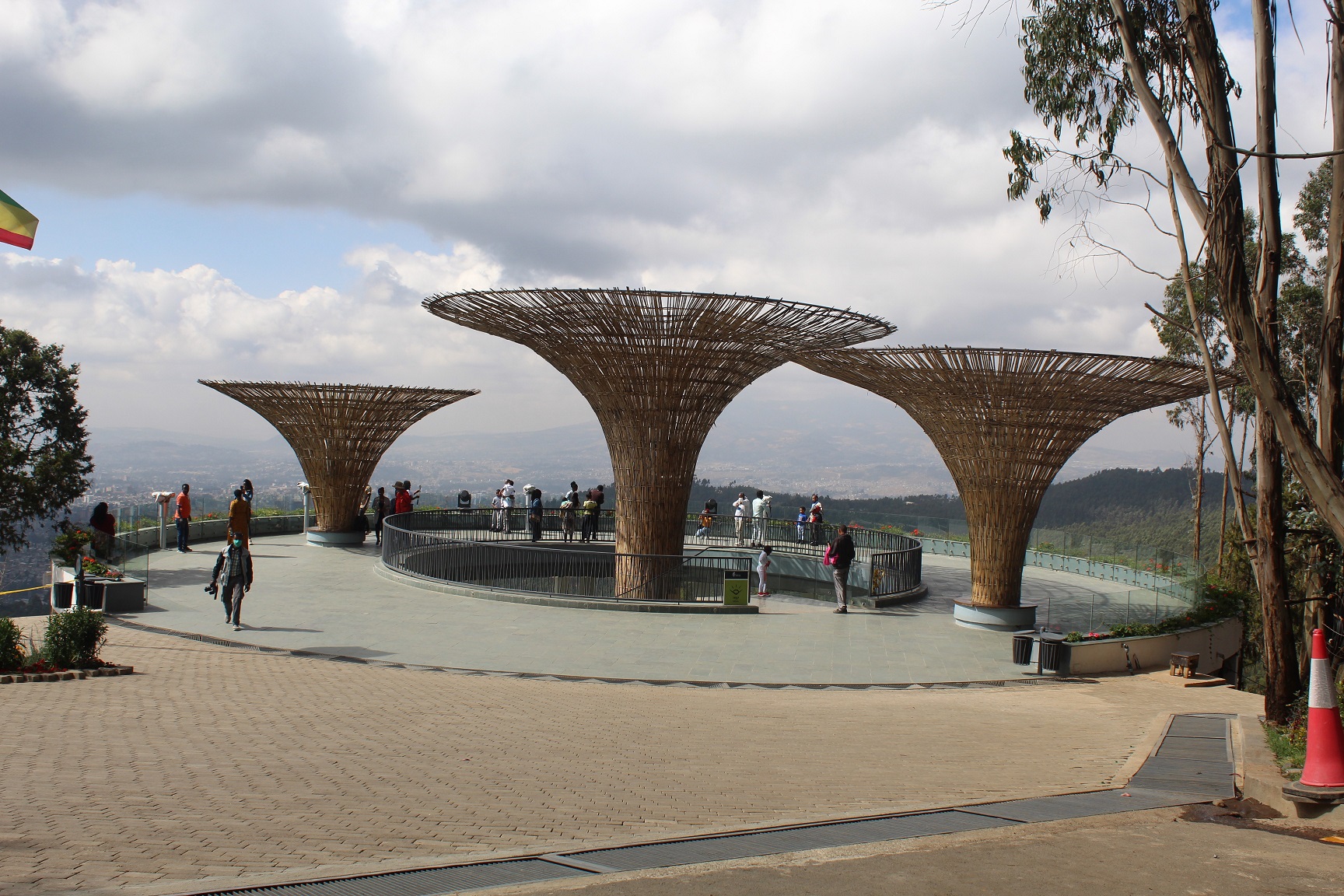
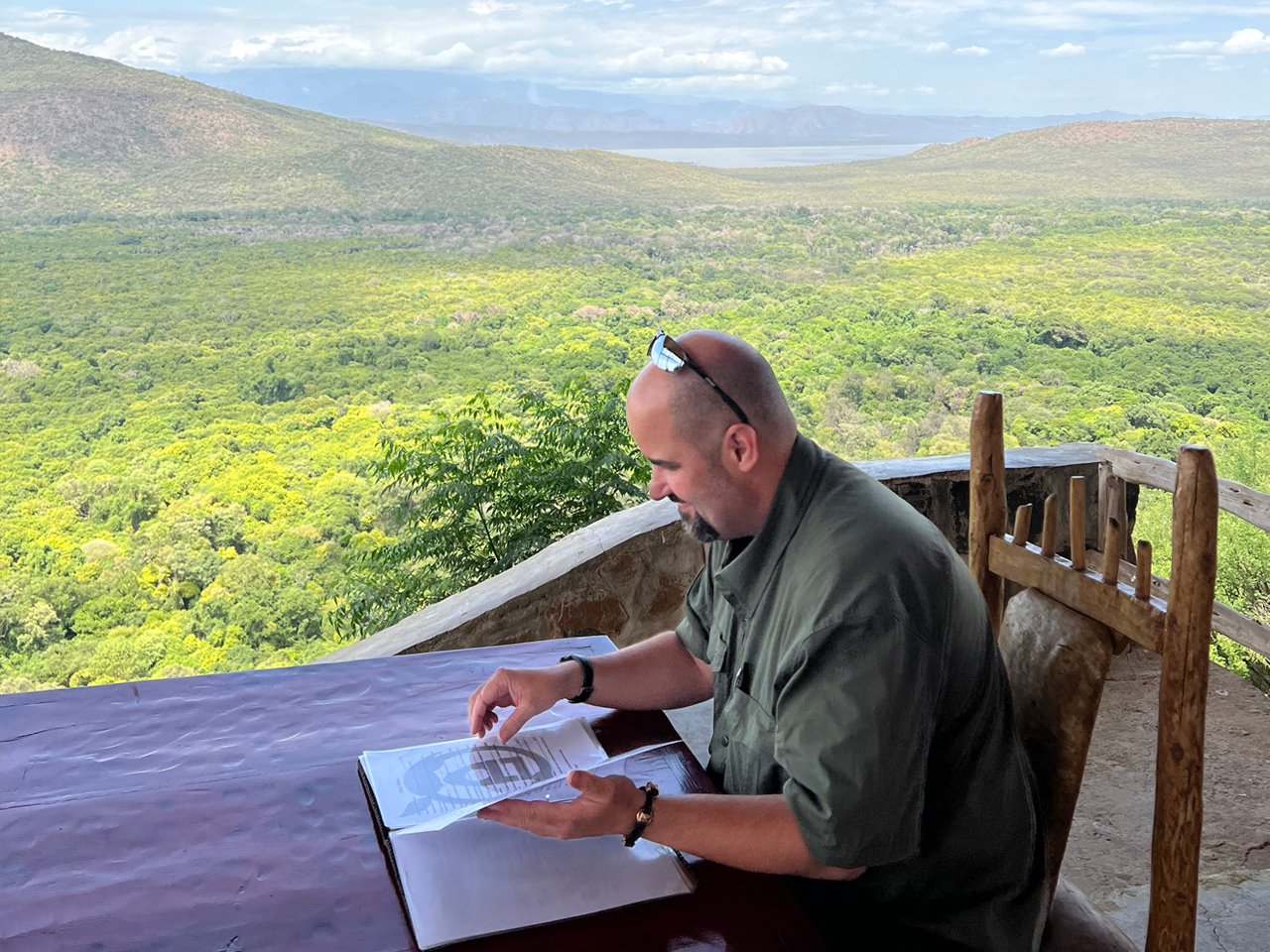
July 4, 2023Thanks for a beautiful end to my stay in Addis - We got a chance to breathe the fresh air and take in the breathtaking views from Entoto Mountain, have a spiritual mini retreat at St Mary s Church, enjoy a... read more  sajjidm2023
February 8, 2023

